Day 1: Eupen to Blankenheim
The day started out fine. My cell phone dropped on the train somewhere on my way to Eupen and the sim card dislocated. After reassembling the phone, it got an error message, saying that I have to put a sim card in my phone. Date and time were reset and I could not contact my girlfriend from that point onward.
Anyway, I'll explain the route using the pictures I have taken on my journey. Click the photos to enlarge.
 |
| This is the route I've taken on the first day. 64,7 km, starting with a massive, steady climb, somewhat flat stretches of road and towards a few steep hills. |
DOWNLOAD THE GPS FILE FROM BIKEMAP.NET !
 |
| A photo of Mechelen from the train. Currently on my way to Brussel and then to Eupen. |
 |
| In Belgium, there is always room for a bicycle on the most trains. A normal train has 1 or 2 big compartments where you can store quite a lot of bikes. |
 |
The train station of Eupen.
With only 19.000 inhabitants, the seat of the parliament of the German speaking community is located in this small city. This parliament represents 76,090 German speaking Belgians.
========Skip this part if you do not care about the Belgian political system========
Belgium is a federal state, divided into language communities, namely the German -, French - and Dutch speaking community. On the same level in the hierarchy, there are 3 other communities with different policy fields based on territorium in stead of language: the Flemisch -, Walloon - and Brussels Regions.
So now I'll explain where Eupen lies politically. Eupen is a MUNICIPALITY, so it has a mayor, a city hall and civic councillors. It lies within the PROVINCE of Liège, in the Walloon REGION, and as part of the GERMAN SPEAKING COMMUNITY. All the words in capital letters are all under the Belgian FEDERAL GOVERNMENT.
A Province has very little political power; a Municipality has, more than a province does, authority in a range of subjects regarding local intrests; a Region (gewest) is responsible for economy, ecology, infrastructure, etc. within that region; a Language Community has authority in subjects that concern language and culture: cultural spending (theater, events, etc.), education (schools, r&d, university, ...) and social spending; and at the very top, you have the Federal level. Here everything of national interest is taken care of. Defense, economy, budgets of municipalities, provinces, regions and language communities, etc.
========Skip this part if you do not care about the Belgian political system======== |
|
 |
| Here is a map. While I was looking at this map, I had absolutely not 1 single clou where I had to go. I just followed my instincts and cycled in some direction. |
 |
| I knew that this was the right direction in theory. |
 |
| Drinking a coffee and thinking about the path I could take. |
 |
| Can't leave on an empty stomach. |
 |
| Venn und Seen Route. Sounds about right. |
 |
| Look at the sign jungle. Not confusing or distracting at all. |
 |
| Red line is the Bundesstraße. I took this route. |
Time: 13:31
Location: Eupen (Hillstraße)
Leaving Eupen at 13:31 from the Hillstraße, the way to Mützenich and Monschau was really a tiresome trail. The steep hill never ended. Little did I know that it was like that up to Wiesbaden. The amount of hills and the steepness decreases over time though.
 |
| Naturpark Hohes Venn is in Belgium. The white sign says: "Besonderes Schutzgebiet". It means: "specially protected area". |
 |
| After leaving Belgium, I've made a photo looking back. I am now entering Mützenich. Mützenich is surrounded by Belgium. |
 |
| If you look at the left side of the google map screenshot, you'll notice the black border. This is the country border. Now look at the right side of the map. Do you notice there being 2 lines? The area between these borders is Belgian territory. Hence Mützenich is a German land that is surrounded by Belgium. |
 |
| Steepness is ok but still exhaustive over time. From Eupen to Monschau it was only uphill like on this photo. |
 |
| Here a map of Mützenich. |
 |
| Entering the small village. |
 |
| This appeared after the previous sign. |
 |
| Luftkurtort Monschau. Every region wants to have something to promote themselves with. There are lots of trees here and only little traffic, so they call it an Oxygen Health Resort |
 |
| Monschau is a European village, so it seems. |
 |
| "Kartoffeln zu verkaufen" |
 |
| Bitburger at a German roadhouse (Wirtshaus) |
 |
| Entering Höfen. |
 |
| Sign says: "Nationalpark Eifel". |
 |
| ... and my tire deflated again in Schöneseiffen. |
Damaged my bicycle tube again appearantly (currently in Schöneseiffen)
 |
| In Schöneseiffen, I saw a man outside watering his crops. I approached him and asked him for a fork or spoon, explaining him it is needed to detach the tire from the rim. His very first response was to ask me if I wanted to sit down in his garden and drink a cup of coffee. His wife, who I did not notice at first, was sitting in the shades, enjoying the weather and a cup of coffee. After we've all introduced ourselves, his wife and I both poured ourselves a cup and chatted a bit, while he continued watering his vegetables. Half an hour or so has passed until I've requested a fork or spoon once more, as they've both seemed to have forgotten the reason of me sitting there. She fetched me 2 spoons and I got started right away, mainly because I haven't had a single clou how long it would take for this to work. It actually got fixed relatively quick and he offered me a beer, which I gladly accepted. After we finished our beers, he offered me a second beer, which I turned down, saying I still have to cycle quite a distance and wouldn't want the beer to be a negative influence. I've thanked myself and said good bye to the hospital pair from Schöneseiffen. |
 |
| Ascend: 83m; descend: 16m; distance: 11,5 km; estimated time: 39 minutes |
 |
| Currently not experiencing any problems. Everything is running smooth. Already reached Schleiden. |
 |
| Schleiden town centre. |
 |
| The almighty, magnificent stream called 'The Olef' |
 |
| Here I've passed the world-renowned stream 'Olef'. A moment I will look back to years from now. Distance (4,3 km) on map is from Schöneseiffen to Schleiden. |
 |
| I think it stated "Blankenheim 18". You cannot tell the number of km because of the reflection on the sign. |
 |
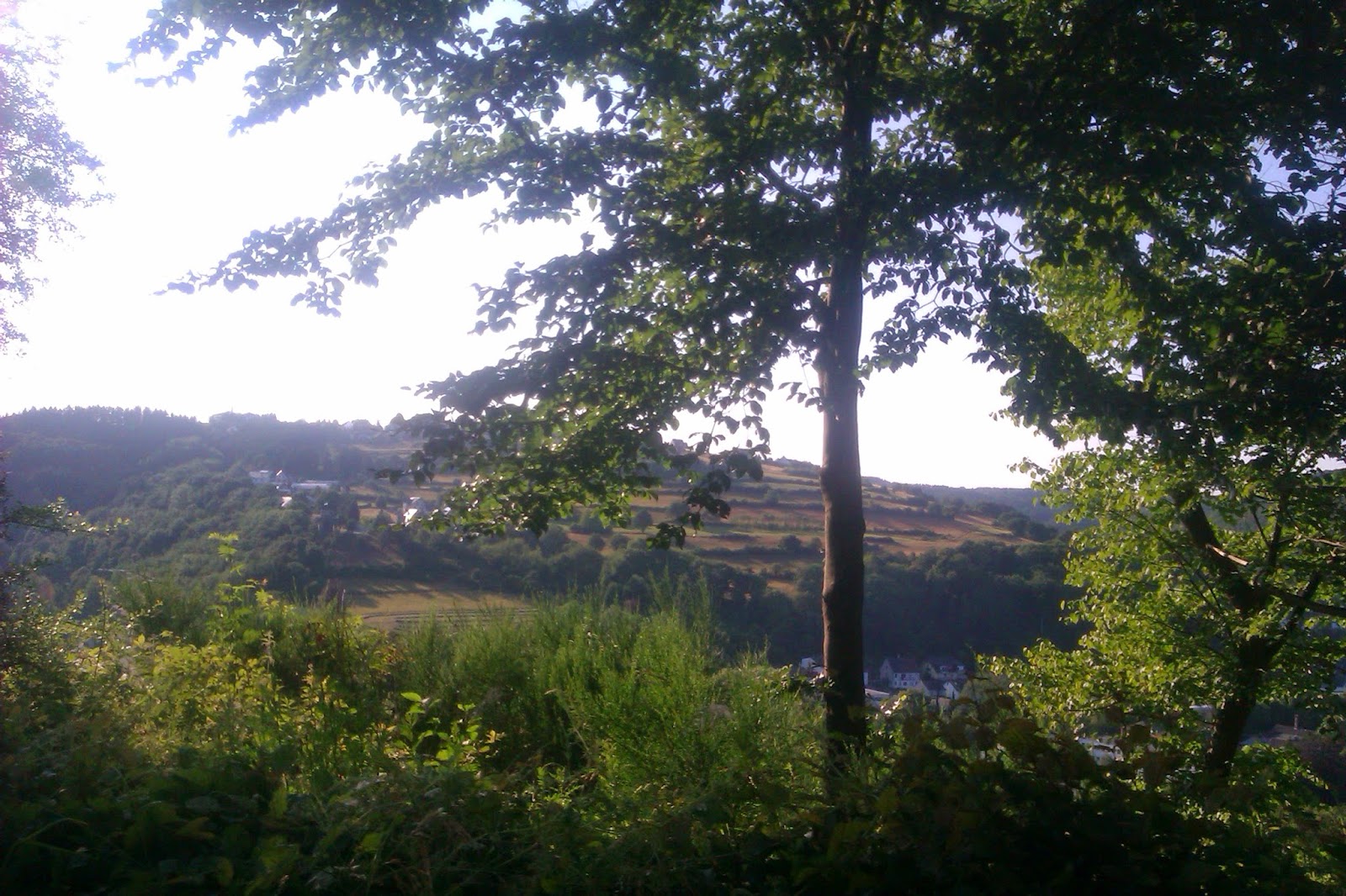
| I was mounting a steep hill again. Exhaustive ride but amazing view of Schleiden. |
 |
| Click on the photo to enlarge. |
 |
| "Sun is shining, the weather is sweet" |
 |
| Made a picture facing back while biking. Very little traffic here. I wasn't scared or stressed to cycle here at all. I could imagine that some people would rather take the dirt roads through the forest, as traffic is a stress factor during rush hour or often-used and on regularly congested roads. I would have preferred the dirt roads, but couldn't because of time-pressure. |
 |
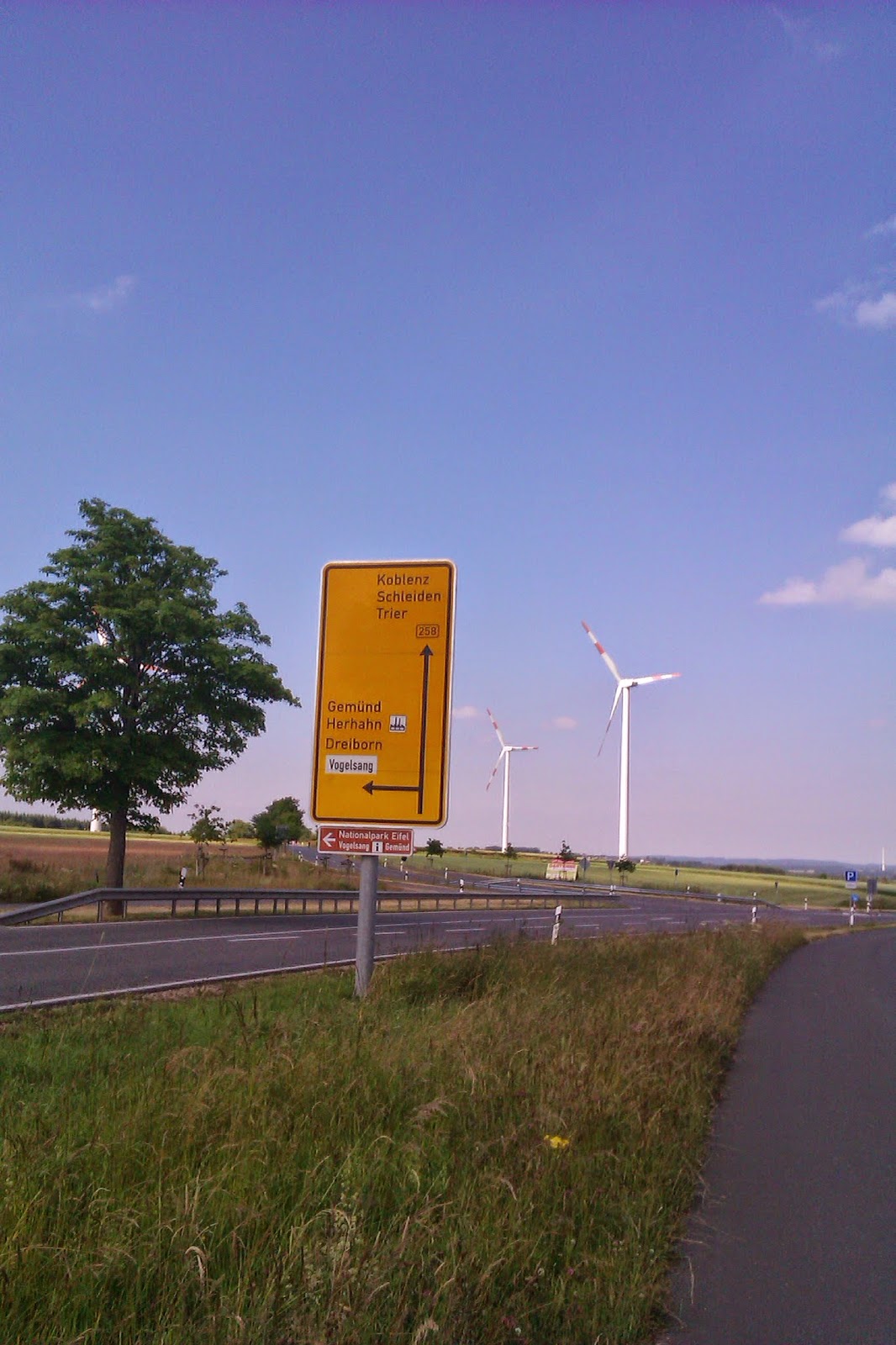
| If I had to reach Koblenz, I would have died on my way there... |
 |
| If would stop at Blankenheim, it means that I had to do another 92 km tomorrow. |
 |
| Entering Krekel. |
 |
| Almost there in Blankenheim. |
Finally arriving in Blankenheim after fixing tire in Schöneseiffen
 |
| Entering Blankenheim-Wald. |
 |
| I think I took a right turn here. |
 |
| Erholungsort is like a spa. |
 |
| A nice old town. |
 |
| I eventually found a good hotel for € 30,00 here and got up early the next day to go to Koblenz. Good thing I got up early, for there was an unpleasant surprise for me the next day. |
Last map to show you the last part of the route:
 |
| I cycled over the Bundesstraße. It seems that good alternatives were available. Oh well. |
Some general/route-specific tips and tricks for other cyclists:
- Try to do some research with regards to the cycle paths through the eifel region. There are a bunch of them, yet I did not bother to do the research.
- I had the feeling that I was faster over the asphalt of the Bundesstraße than I would have been through the forest dirt roads.
- Do not make a plan solely based on the maximum number of km or miles you can cycle in your environment. 68 km doesn't seem like much, but you have to consider the fluctuations in altitude as well. Ascend: 881 m; descend: 656 m. For me that was quite tiring.
- Plan a range of hotels beforehand. Send them an e-mail, saying that you might come at a certain time/date and if the hotel, pension or hostel is likely to be booked full. Try to estimate a range of maximum km you will cycle a day and look for hotels/hostels/pensions to your liking within that range.
eg. I have estimated that I would at least get to Blankenheim (68km) and perhaps even to Mayen (118km). Mayen was really unrealistic looking back on it, but you will learn to estimate correctly after a few experiences.
My sim card did not work anymore, resulting in me not being able to make a reservation the day itself anyway and having to book something on arrival.
- Get up early the next day and make sure you really take it easy that day. If you are like me, you will probably overdo it the very first day.
- Stretch a bit before sleeping.
- If you have had problems with your tires during your trip or just before it, stay in a village or city for the night with a store where you can buy bicycle tubes. In a 'Baumarkt', 'Gartencenter' or a 'Fahrradgeschäft' (research terms for a tool shop in the native language of the country you are in first), you are likely to find a rubber tube.
If you were to need such a store, be sure to also buy a spanner to dislocate the wheel. I've bought 14-15 size spanner for my bike. It is impossible to remove and insert the tube without removing the wheel first. Should this be your first incident, you can try plugging the hole in the tube. Before actually going on this trip, you will need a bicycle-repair-kit. You can buy these anywhere.


No comments:
Post a Comment